Live Remote ID Map
Visualize detected drones, pilot locations, altitude, heading, speed, signal strength, and recent flight history from a web map.
A field sensor and central dashboard platform for detecting Remote ID drone activity, mapping live tracks, managing sensor boxes, and routing alerts into operational systems.
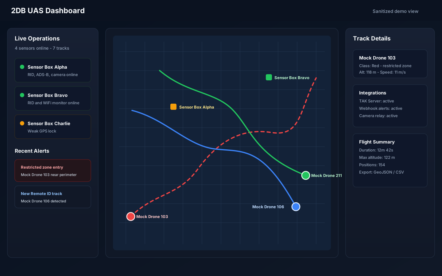
2DB combines deployable sensor boxes with a browser-based command dashboard for teams that need a fast read on drone activity around sensitive locations, public safety operations, and field sites.
Visualize detected drones, pilot locations, altitude, heading, speed, signal strength, and recent flight history from a web map.
Raspberry Pi-based receivers can capture Remote ID signals and report health, location, and telemetry to the central dashboard.
Classify drones, define geofences, trigger browser and audio alerts, and preserve alert history for review.
Send drone tracks into TAK-compatible systems so teams can view air tracks alongside other operational data.
Route new detections, position updates, classification changes, and geofence events to Node-RED or custom systems.
Pair devices, monitor sensor health, relay camera snapshots, and manage field devices from the dashboard.